Reply With Quote
Does it show the toll bridge cut through to highway 5 on this map?

 Likes: 0
 Thanks: 0
 HaHa: 0
 Slabmaster

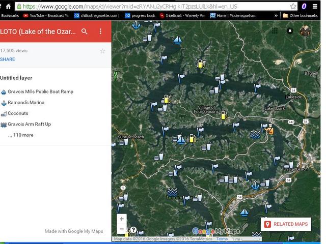
I have been going to LOZ for a 3-4 day trip since 2000, it is always hit or miss as far as fishing but I have always had fun. I found a neat map today and it really helps me figure out the lake a lot better. We always stay at the 10MM and now I know the names of places but can actually figure out their relationship to our campground/resort. I will be there this April 20-25 so I may bump into your boat on the lake!
https://www.google.com/maps/d/viewer...LUlLk&hl=en_US
Crappie.com Legend
Does it show the toll bridge cut through to highway 5 on this map?
Slabmaster
Slabmaster
If you scroll on the map it will zoom in, you can even change to satellite view. See the yellow cop. that is the toll bridge.