Reply With Quote
bass pro sales maps for all th mo lakes

 Likes: 0
 Thanks: 0
 HaHa: 0
 Crappie.com 1K Star General

Any body know where I can get the print info? I like to be able to set down and look through stuff in paper form. Just old school I guess.
Crappie Wall Hanger II
bass pro sales maps for all th mo lakes
If she only knew how much a fish cost me
Crappie.com 2K Star General
Walmart, has them as well. Or just visit the Navionics, Hotmaps on the web or Lakemaster, I believe they also provide printed products as well. Might be more expensive than BP or Wm though.
Trophy King
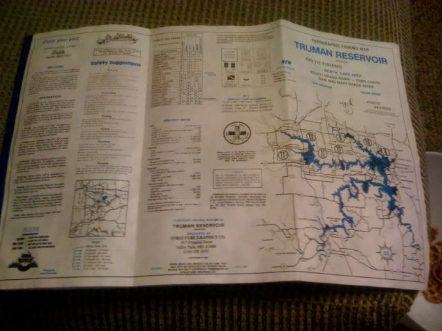
Yeah, the maps are like $10 and well worth it in my opinion. Truman is broke into 2 maps: north of hwy 7 bridge and south of hwy 7 bridge.
Moderator MO OT and MO Tournaments
* Crappie.com Supporter
Everharts in Clinton has the best paper maps I have seen. They are a spilt like Matt said into North and South areas.
Crappie Wall Hanger
The army corp of engineers website has maps for free that you can print. There not topo but they do show boat launches and such, its a good way to get a acquainted with the lay out of a lake.
Moderator MO OT and MO Tournaments
* Crappie.com Supporter
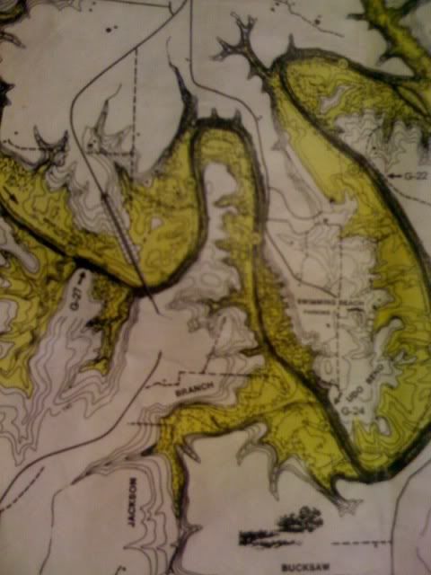
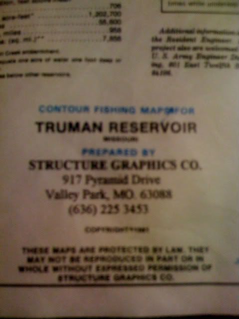
Here is the maps I am talking about. Not the greatest pics but will give you an idea of what they are. They are made of a water proof paper. Kind of a wax feel to it. I have had mine for several years in and out of the boat and they have held up well.
Crappie.com 1K Star General
I have a set of these from 1985, still like new today.
Trophy King
Could you zoom in a bit more on those pictures so I can see your X's for hot spots.... just kidding. Mine is different than yours. Mine is fishing hotspots I think and I bought it at Bass Pro because it was the only place I could find one in stock.
Moderator MO OT and MO Tournaments
* Crappie.com Supporter
Matt bring your map and meet me at Trumam some time and I will gladly mark some spots on it for you. I have in elf the hotspot maps also. It is more like my chip I had in my 332C Lowrance.
Posting Permissions